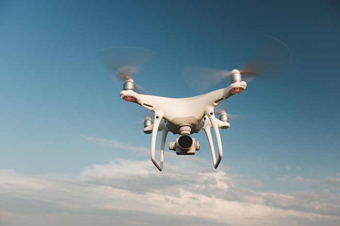
Choose the Best Drone for Land Surveying in Georgia (Communities - Services Offered)

USNetAds > Communities > Services Offered
Item ID 133756243 in Category: Communities - Services Offered
Choose the Best Drone for Land Surveying in Georgia | |
Looking for accurate aerial property data? With Map Drone Solutions, the best drone for land surveying in Georgia captures high-resolution maps, boundary lines, elevation changes, and roof or terrain details cost-effectively. Our expert team uses advanced drones paired with precise sensors to deliver property survey insights you can trust. Avoid manual errors, save time, and get reports for planning, permitting, or real estate purposes. Reach out today and see your land from above.  | |
| Related Link: Click here to visit item owner's website (1 hit) | |
| Target State: Georgia Target City : Conley Last Update : Sep 19, 2025 3:09 AM Number of Views: 61 | Item Owner : mapdronesolutions Contact Email: Contact Phone: 4046806792 |
| Friendly reminder: Click here to read some tips. | |
USNetAds > Communities > Services Offered
© 2025 USNetAds.com
GetJob.us | CANetAds.com | UKAdsList.com | AUNetAds.com | INNetAds.com | CNNetAds.com | Hot-Web-Ads.com | USAOnlineClassifieds.com
2025-10-25 (0.395 sec)